Surveyor Resume Examples

Mar 18, 2025
|
12 min read
Level up your surveyor resume and leave no stone unturned. Learn how to showcase your skills, highlight your experience, and map out a career path that stands out from the competition. Your resume can land you that dream job.
Rated by 348 people
 03/2020 - 09/2023
- •Conducted over 150 site audits per year, optimizing project proposals, which increased project completion efficiency by 20%.
- •Developed and implemented a streamlined data uploading process, reducing data entry time by 30 minutes per project.
- •Created detailed site layouts for solar installations, resulting in a 10% reduction in installation time and cost.
- •Collaborated with design team to prepare comprehensive permit-ready documents, improving compliance rate by 15%.
- •Used advanced measuring tools and techniques to gather precise site measurements, significantly enhancing design accuracy.
- •Built and maintained strong client relationships that led to a 25% increase in repeat business.
01/2017 - 02/2020 - •Led site audits for residential solar projects, reducing errors and rework by 18% through meticulous data collection.
- •Implemented new audit technology tools, enhancing speed and accuracy, decreasing audit time by 25%.
- •Managed site audit personnel and coordinated with project teams, streamlining communication and improving team efficiency by 12%.
- •Identified structural challenges and proposed solutions, resulting in 95% of projects proceeding smoothly to installation phase.
- •Trained new staff in site auditing processes, improving their initial audit accuracy rate by 40% after the first month.
06/2014 - 12/2016 - •Assisted in the development of rooftop solar installation projects, contributing to a 50% increase in daily project output.
- •Executed physical site assessments leading to the identification and resolution of potential installation issues.
- •Collaborated with engineering teams to enhance system designs, improving system reliability by 15%.
- •Ensured safety compliance on-site, significantly decreasing worksite accidents by implementing strict safety protocols.
01/2012 - 05/2014 - •Performed site measurements and structural assessments, contributing directly to improved design accuracy.
- •Worked closely with project managers to prioritize site audits, improving overall project timelines by 10%.
- •Reported on-site technical data that informed design and engineering decisions, enhancing system performance.
- •Identified key data points quickly and efficiently during site visits, supporting faster decision-making processes.
01/2010 - 01/2012 01/2006 - 01/2010 
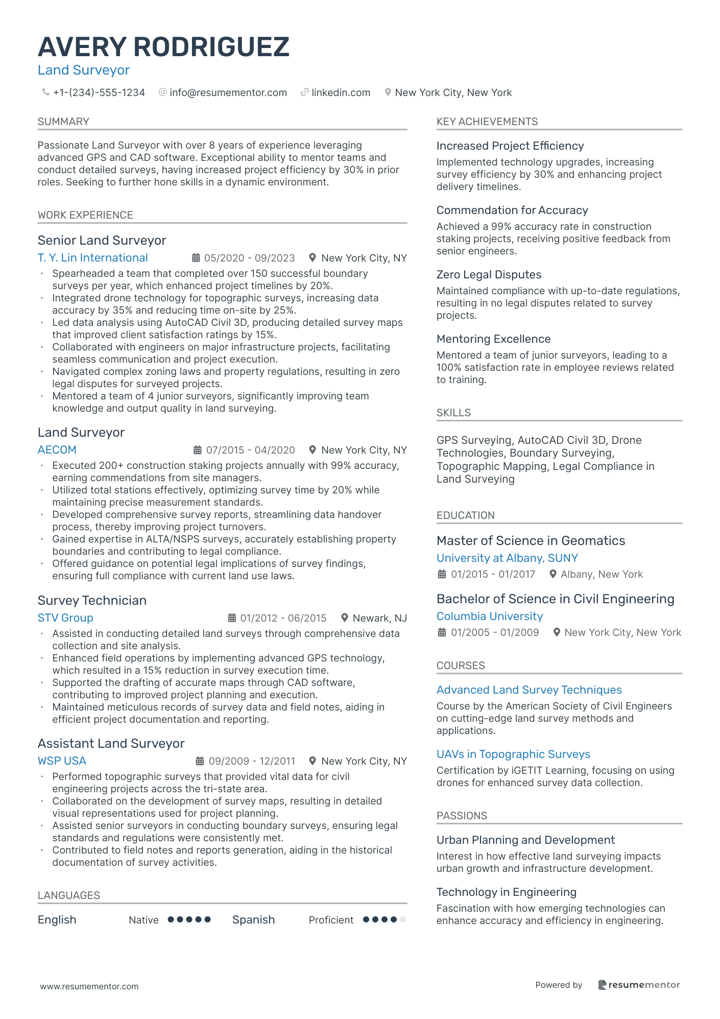
Land Surveyor
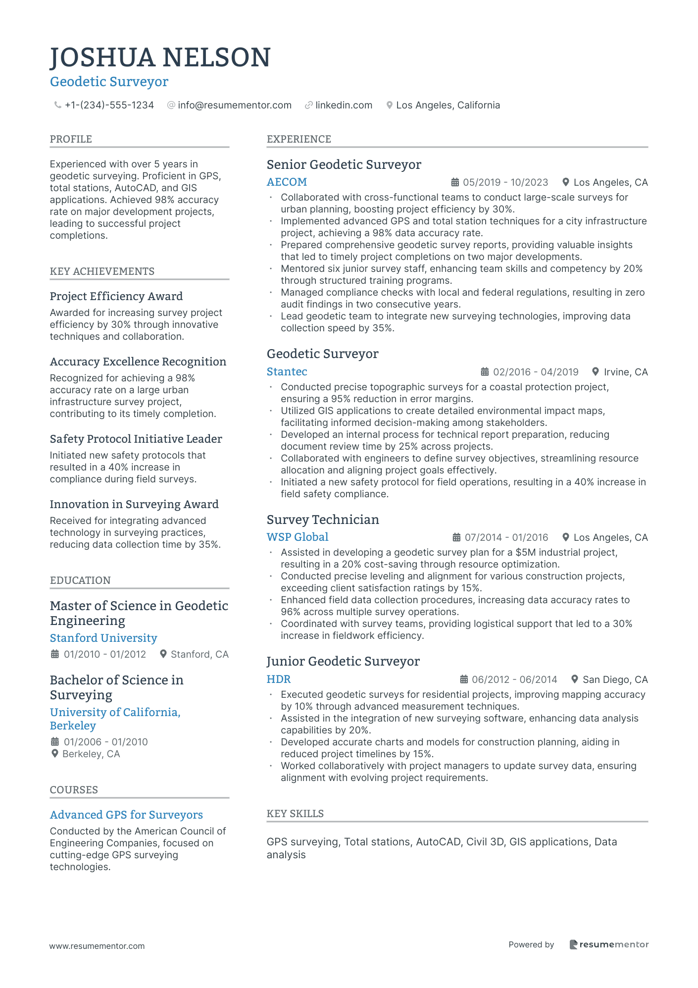
Geodetic Surveyor
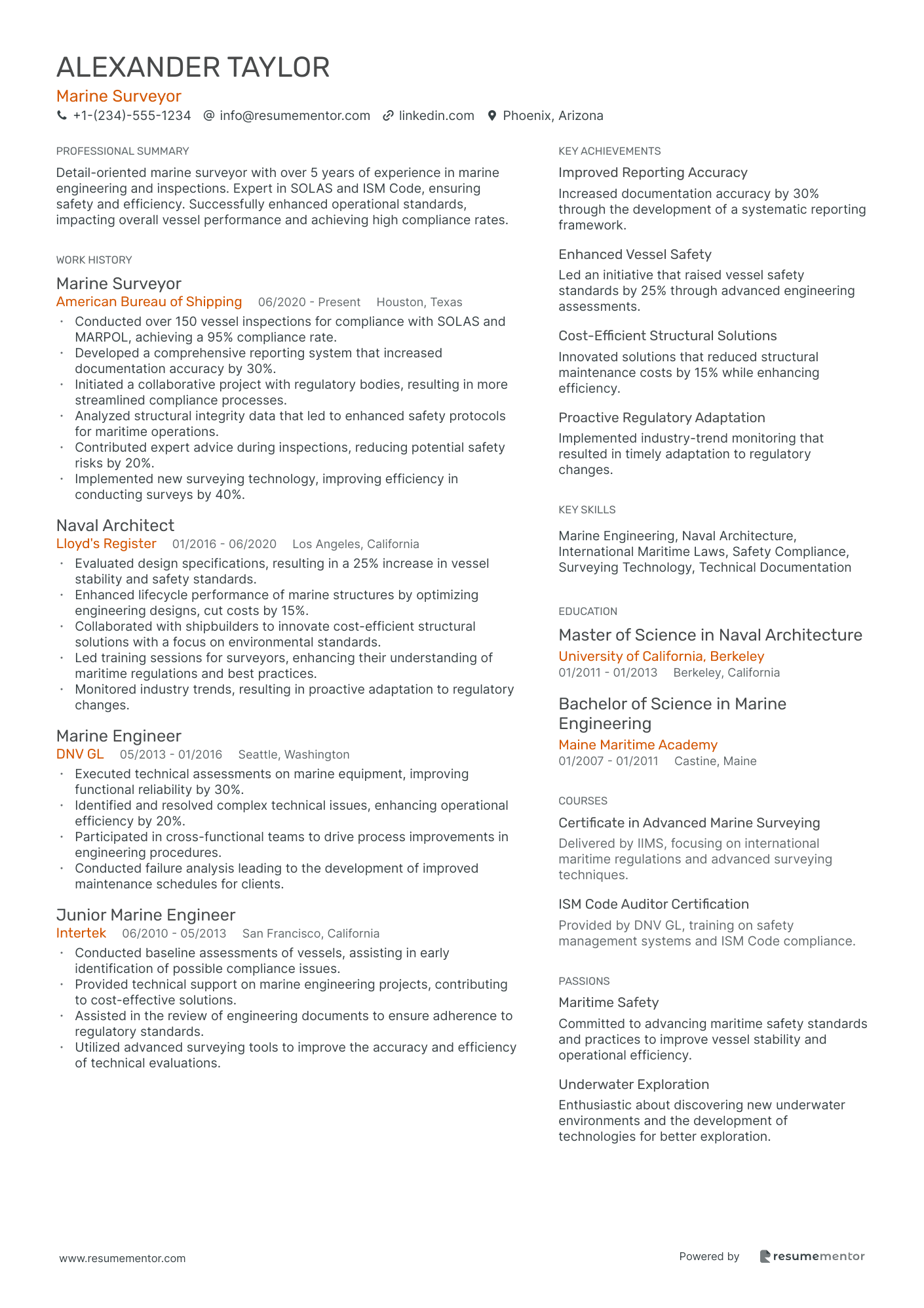
Marine Surveyor
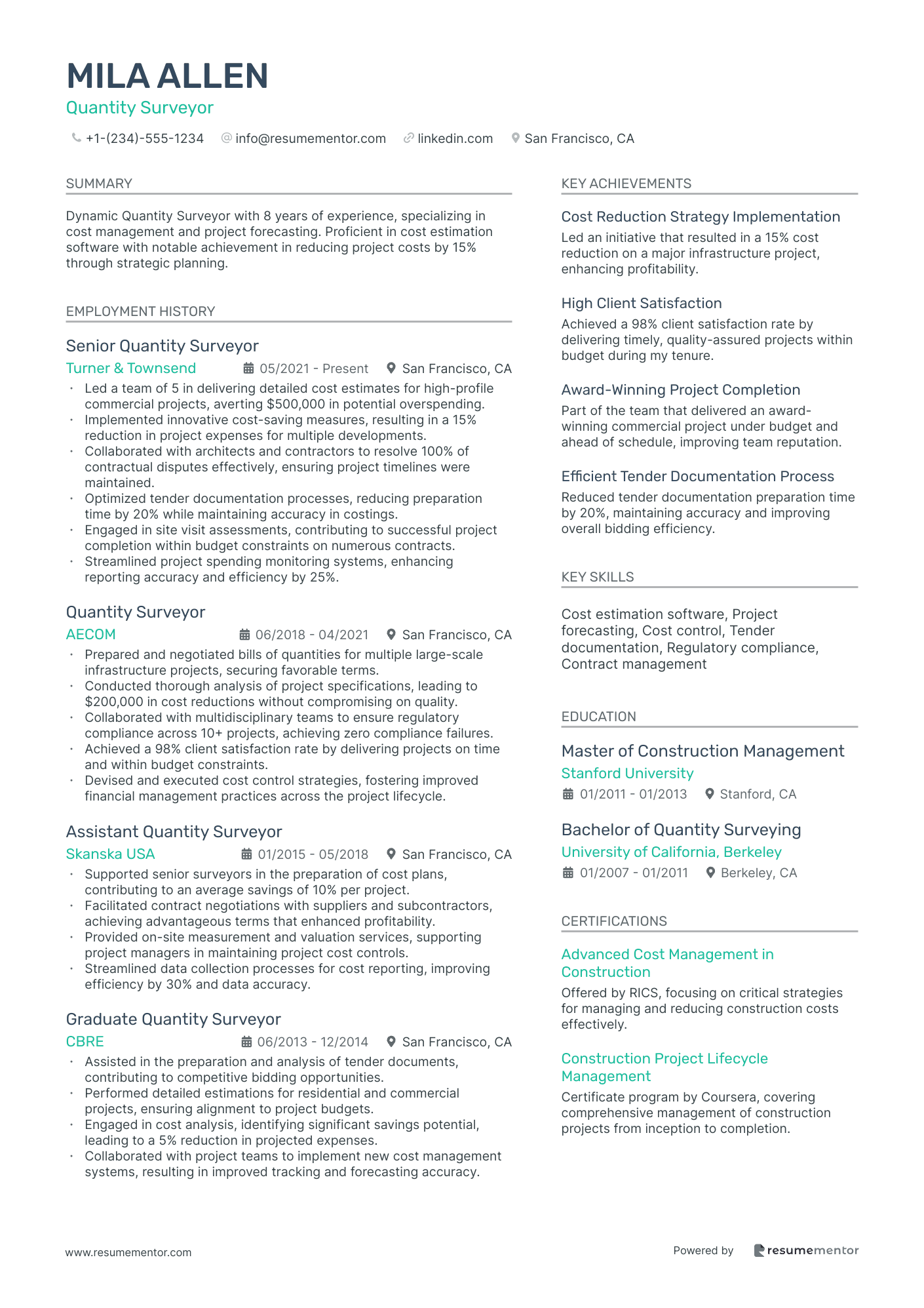
Quantity Surveyor
Aerial Surveyor
Engineering Surveyor
Remote Sensing Surveyor
Environmental Surveyor
Construction Surveyor
Boundary Surveyor

Land Surveyor resume sample
- •Spearheaded a team that completed over 150 successful boundary surveys per year, which enhanced project timelines by 20%.
- •Integrated drone technology for topographic surveys, increasing data accuracy by 35% and reducing time on-site by 25%.
- •Led data analysis using AutoCAD Civil 3D, producing detailed survey maps that improved client satisfaction ratings by 15%.
- •Collaborated with engineers on major infrastructure projects, facilitating seamless communication and project execution.
- •Navigated complex zoning laws and property regulations, resulting in zero legal disputes for surveyed projects.
- •Mentored a team of 4 junior surveyors, significantly improving team knowledge and output quality in land surveying.
- •Executed 200+ construction staking projects annually with 99% accuracy, earning commendations from site managers.
- •Utilized total stations effectively, optimizing survey time by 20% while maintaining precise measurement standards.
- •Developed comprehensive survey reports, streamlining data handover process, thereby improving project turnovers.
- •Gained expertise in ALTA/NSPS surveys, accurately establishing property boundaries and contributing to legal compliance.
- •Offered guidance on potential legal implications of survey findings, ensuring full compliance with current land use laws.
- •Assisted in conducting detailed land surveys through comprehensive data collection and site analysis.
- •Enhanced field operations by implementing advanced GPS technology, which resulted in a 15% reduction in survey execution time.
- •Supported the drafting of accurate maps through CAD software, contributing to improved project planning and execution.
- •Maintained meticulous records of survey data and field notes, aiding in efficient project documentation and reporting.
- •Performed topographic surveys that provided vital data for civil engineering projects across the tri-state area.
- •Collaborated on the development of survey maps, resulting in detailed visual representations used for project planning.
- •Assisted senior surveyors in conducting boundary surveys, ensuring legal standards and regulations were consistently met.
- •Contributed to field notes and reports generation, aiding in the historical documentation of survey activities.
Geodetic Surveyor resume sample
- •Collaborated with cross-functional teams to conduct large-scale surveys for urban planning, boosting project efficiency by 30%.
- •Implemented advanced GPS and total station techniques for a city infrastructure project, achieving a 98% data accuracy rate.
- •Prepared comprehensive geodetic survey reports, providing valuable insights that led to timely project completions on two major developments.
- •Mentored six junior survey staff, enhancing team skills and competency by 20% through structured training programs.
- •Managed compliance checks with local and federal regulations, resulting in zero audit findings in two consecutive years.
- •Lead geodetic team to integrate new surveying technologies, improving data collection speed by 35%.
- •Conducted precise topographic surveys for a coastal protection project, ensuring a 95% reduction in error margins.
- •Utilized GIS applications to create detailed environmental impact maps, facilitating informed decision-making among stakeholders.
- •Developed an internal process for technical report preparation, reducing document review time by 25% across projects.
- •Collaborated with engineers to define survey objectives, streamlining resource allocation and aligning project goals effectively.
- •Initiated a new safety protocol for field operations, resulting in a 40% increase in field safety compliance.
- •Assisted in developing a geodetic survey plan for a $5M industrial project, resulting in a 20% cost-saving through resource optimization.
- •Conducted precise leveling and alignment for various construction projects, exceeding client satisfaction ratings by 15%.
- •Enhanced field data collection procedures, increasing data accuracy rates to 96% across multiple survey operations.
- •Coordinated with survey teams, providing logistical support that led to a 30% increase in fieldwork efficiency.
- •Executed geodetic surveys for residential projects, improving mapping accuracy by 10% through advanced measurement techniques.
- •Assisted in the integration of new surveying software, enhancing data analysis capabilities by 20%.
- •Developed accurate charts and models for construction planning, aiding in reduced project timelines by 15%.
- •Worked collaboratively with project managers to update survey data, ensuring alignment with evolving project requirements.
Marine Surveyor resume sample
- •Conducted over 150 vessel inspections for compliance with SOLAS and MARPOL, achieving a 95% compliance rate.
- •Developed a comprehensive reporting system that increased documentation accuracy by 30%.
- •Initiated a collaborative project with regulatory bodies, resulting in more streamlined compliance processes.
- •Analyzed structural integrity data that led to enhanced safety protocols for maritime operations.
- •Contributed expert advice during inspections, reducing potential safety risks by 20%.
- •Implemented new surveying technology, improving efficiency in conducting surveys by 40%.
- •Evaluated design specifications, resulting in a 25% increase in vessel stability and safety standards.
- •Enhanced lifecycle performance of marine structures by optimizing engineering designs, cut costs by 15%.
- •Collaborated with shipbuilders to innovate cost-efficient structural solutions with a focus on environmental standards.
- •Led training sessions for surveyors, enhancing their understanding of maritime regulations and best practices.
- •Monitored industry trends, resulting in proactive adaptation to regulatory changes.
- •Executed technical assessments on marine equipment, improving functional reliability by 30%.
- •Identified and resolved complex technical issues, enhancing operational efficiency by 20%.
- •Participated in cross-functional teams to drive process improvements in engineering procedures.
- •Conducted failure analysis leading to the development of improved maintenance schedules for clients.
- •Conducted baseline assessments of vessels, assisting in early identification of possible compliance issues.
- •Provided technical support on marine engineering projects, contributing to cost-effective solutions.
- •Assisted in the review of engineering documents to ensure adherence to regulatory standards.
- •Utilized advanced surveying tools to improve the accuracy and efficiency of technical evaluations.
Quantity Surveyor resume sample
- •Led a team of 5 in delivering detailed cost estimates for high-profile commercial projects, averting $500,000 in potential overspending.
- •Implemented innovative cost-saving measures, resulting in a 15% reduction in project expenses for multiple developments.
- •Collaborated with architects and contractors to resolve 100% of contractual disputes effectively, ensuring project timelines were maintained.
- •Optimized tender documentation processes, reducing preparation time by 20% while maintaining accuracy in costings.
- •Engaged in site visit assessments, contributing to successful project completion within budget constraints on numerous contracts.
- •Streamlined project spending monitoring systems, enhancing reporting accuracy and efficiency by 25%.
- •Prepared and negotiated bills of quantities for multiple large-scale infrastructure projects, securing favorable terms.
- •Conducted thorough analysis of project specifications, leading to $200,000 in cost reductions without compromising on quality.
- •Collaborated with multidisciplinary teams to ensure regulatory compliance across 10+ projects, achieving zero compliance failures.
- •Achieved a 98% client satisfaction rate by delivering projects on time and within budget constraints.
- •Devised and executed cost control strategies, fostering improved financial management practices across the project lifecycle.
- •Supported senior surveyors in the preparation of cost plans, contributing to an average savings of 10% per project.
- •Facilitated contract negotiations with suppliers and subcontractors, achieving advantageous terms that enhanced profitability.
- •Provided on-site measurement and valuation services, supporting project managers in maintaining project cost controls.
- •Streamlined data collection processes for cost reporting, improving efficiency by 30% and data accuracy.
- •Assisted in the preparation and analysis of tender documents, contributing to competitive bidding opportunities.
- •Performed detailed estimations for residential and commercial projects, ensuring alignment to project budgets.
- •Engaged in cost analysis, identifying significant savings potential, leading to a 5% reduction in projected expenses.
- •Collaborated with project teams to implement new cost management systems, resulting in improved tracking and forecasting accuracy.
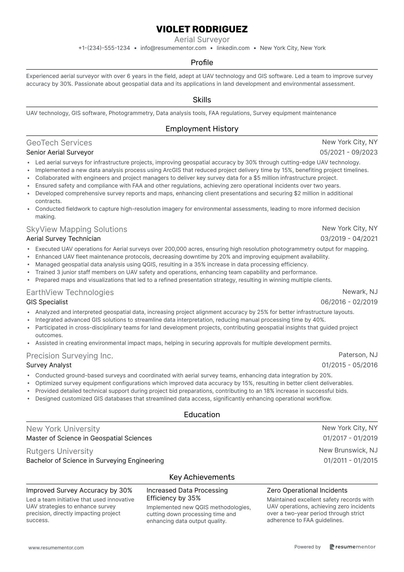
Aerial Surveyor resume sample
- •Led aerial surveys for infrastructure projects, improving geospatial accuracy by 30% through cutting-edge UAV technology.
- •Implemented a new data analysis process using ArcGIS that reduced project delivery time by 15%, benefiting project timelines.
- •Collaborated with engineers and project managers to deliver key survey data for a $5 million infrastructure project.
- •Ensured safety and compliance with FAA and other regulations, achieving zero operational incidents over two years.
- •Developed comprehensive survey reports and maps, enhancing client presentations and securing $2 million in additional contracts.
- •Conducted fieldwork to capture high-resolution imagery for environmental assessments, leading to more informed decision making.
- •Executed UAV operations for Aerial surveys over 200,000 acres, ensuring high resolution photogrammetry output for mapping.
- •Enhanced UAV fleet maintenance protocols, decreasing downtime by 20% and improving equipment availability.
- •Managed geospatial data analysis using QGIS, resulting in a 35% increase in data processing efficiency.
- •Trained 3 junior staff members on UAV safety and operations, enhancing team capability and performance.
- •Prepared maps and visualizations that led to a refined presentation strategy, resulting in winning multiple clients.
- •Analyzed and interpreted geospatial data, increasing project alignment accuracy by 25% for better infrastructure layouts.
- •Integrated advanced GIS solutions to streamline data interpretation, reducing manual processing time by 40%.
- •Participated in cross-disciplinary teams for land development projects, contributing geospatial insights that guided project outcomes.
- •Assisted in creating environmental impact maps, helping in securing approvals for multiple development permits.
- •Conducted ground-based surveys and coordinated with aerial survey teams, enhancing data integration by 20%.
- •Optimized survey equipment configurations which improved data accuracy by 15%, resulting in better client deliverables.
- •Provided detailed technical support during project bid preparations, contributing to an 18% increase in successful bids.
- •Designed customized GIS databases that streamlined data access, significantly enhancing operational workflow.
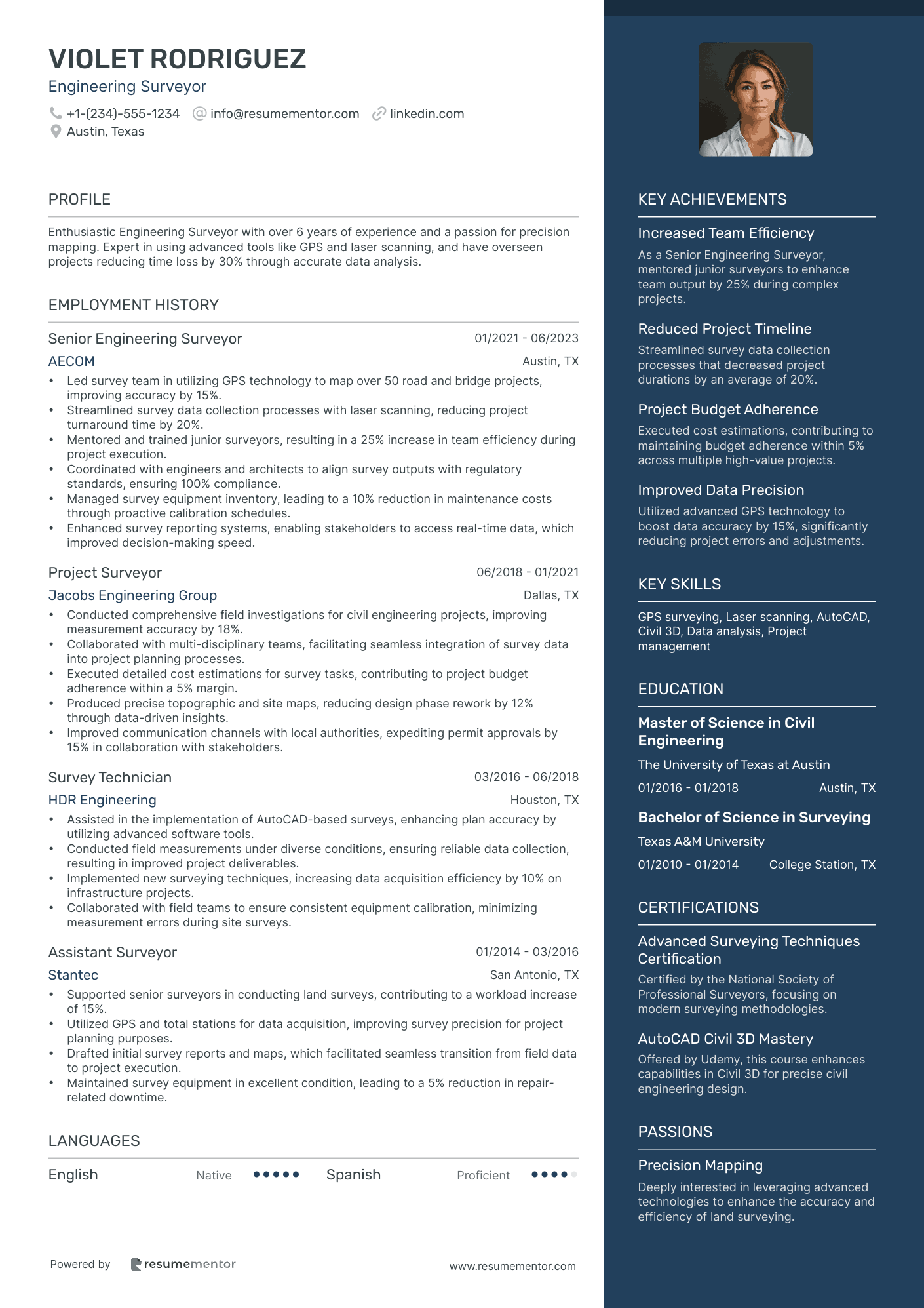
Engineering Surveyor resume sample
- •Led survey team in utilizing GPS technology to map over 50 road and bridge projects, improving accuracy by 15%.
- •Streamlined survey data collection processes with laser scanning, reducing project turnaround time by 20%.
- •Mentored and trained junior surveyors, resulting in a 25% increase in team efficiency during project execution.
- •Coordinated with engineers and architects to align survey outputs with regulatory standards, ensuring 100% compliance.
- •Managed survey equipment inventory, leading to a 10% reduction in maintenance costs through proactive calibration schedules.
- •Enhanced survey reporting systems, enabling stakeholders to access real-time data, which improved decision-making speed.
- •Conducted comprehensive field investigations for civil engineering projects, improving measurement accuracy by 18%.
- •Collaborated with multi-disciplinary teams, facilitating seamless integration of survey data into project planning processes.
- •Executed detailed cost estimations for survey tasks, contributing to project budget adherence within a 5% margin.
- •Produced precise topographic and site maps, reducing design phase rework by 12% through data-driven insights.
- •Improved communication channels with local authorities, expediting permit approvals by 15% in collaboration with stakeholders.
- •Assisted in the implementation of AutoCAD-based surveys, enhancing plan accuracy by utilizing advanced software tools.
- •Conducted field measurements under diverse conditions, ensuring reliable data collection, resulting in improved project deliverables.
- •Implemented new surveying techniques, increasing data acquisition efficiency by 10% on infrastructure projects.
- •Collaborated with field teams to ensure consistent equipment calibration, minimizing measurement errors during site surveys.
- •Supported senior surveyors in conducting land surveys, contributing to a workload increase of 15%.
- •Utilized GPS and total stations for data acquisition, improving survey precision for project planning purposes.
- •Drafted initial survey reports and maps, which facilitated seamless transition from field data to project execution.
- •Maintained survey equipment in excellent condition, leading to a 5% reduction in repair-related downtime.
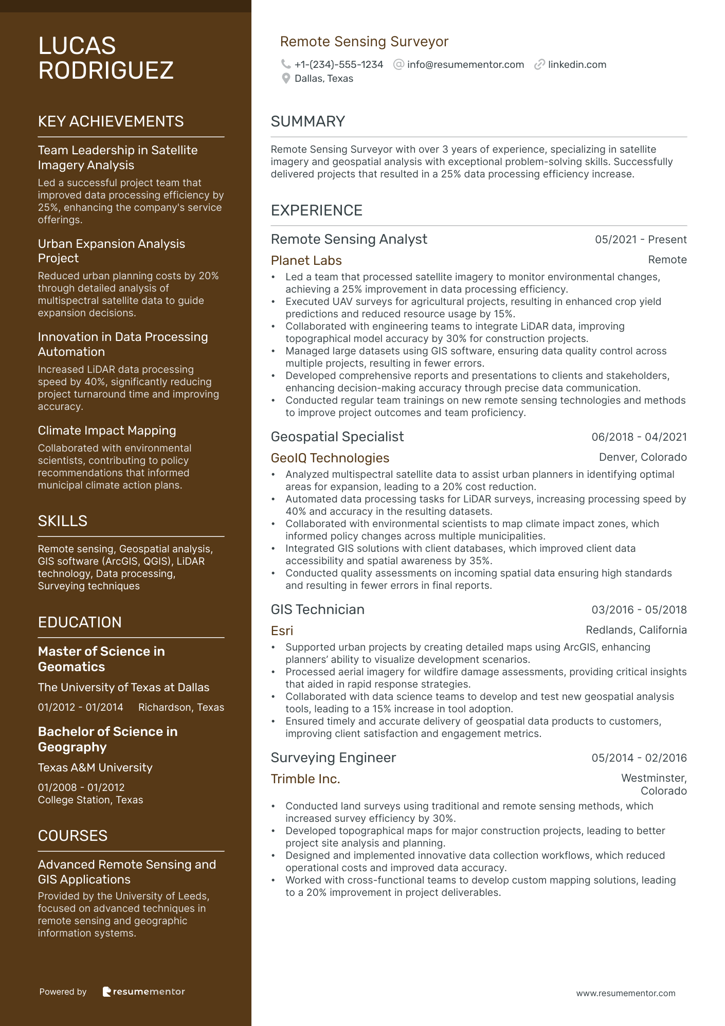
Remote Sensing Surveyor resume sample
- •Led a team that processed satellite imagery to monitor environmental changes, achieving a 25% improvement in data processing efficiency.
- •Executed UAV surveys for agricultural projects, resulting in enhanced crop yield predictions and reduced resource usage by 15%.
- •Collaborated with engineering teams to integrate LiDAR data, improving topographical model accuracy by 30% for construction projects.
- •Managed large datasets using GIS software, ensuring data quality control across multiple projects, resulting in fewer errors.
- •Developed comprehensive reports and presentations to clients and stakeholders, enhancing decision-making accuracy through precise data communication.
- •Conducted regular team trainings on new remote sensing technologies and methods to improve project outcomes and team proficiency.
- •Analyzed multispectral satellite data to assist urban planners in identifying optimal areas for expansion, leading to a 20% cost reduction.
- •Automated data processing tasks for LiDAR surveys, increasing processing speed by 40% and accuracy in the resulting datasets.
- •Collaborated with environmental scientists to map climate impact zones, which informed policy changes across multiple municipalities.
- •Integrated GIS solutions with client databases, which improved client data accessibility and spatial awareness by 35%.
- •Conducted quality assessments on incoming spatial data ensuring high standards and resulting in fewer errors in final reports.
- •Supported urban projects by creating detailed maps using ArcGIS, enhancing planners’ ability to visualize development scenarios.
- •Processed aerial imagery for wildfire damage assessments, providing critical insights that aided in rapid response strategies.
- •Collaborated with data science teams to develop and test new geospatial analysis tools, leading to a 15% increase in tool adoption.
- •Ensured timely and accurate delivery of geospatial data products to customers, improving client satisfaction and engagement metrics.
- •Conducted land surveys using traditional and remote sensing methods, which increased survey efficiency by 30%.
- •Developed topographical maps for major construction projects, leading to better project site analysis and planning.
- •Designed and implemented innovative data collection workflows, which reduced operational costs and improved data accuracy.
- •Worked with cross-functional teams to develop custom mapping solutions, leading to a 20% improvement in project deliverables.
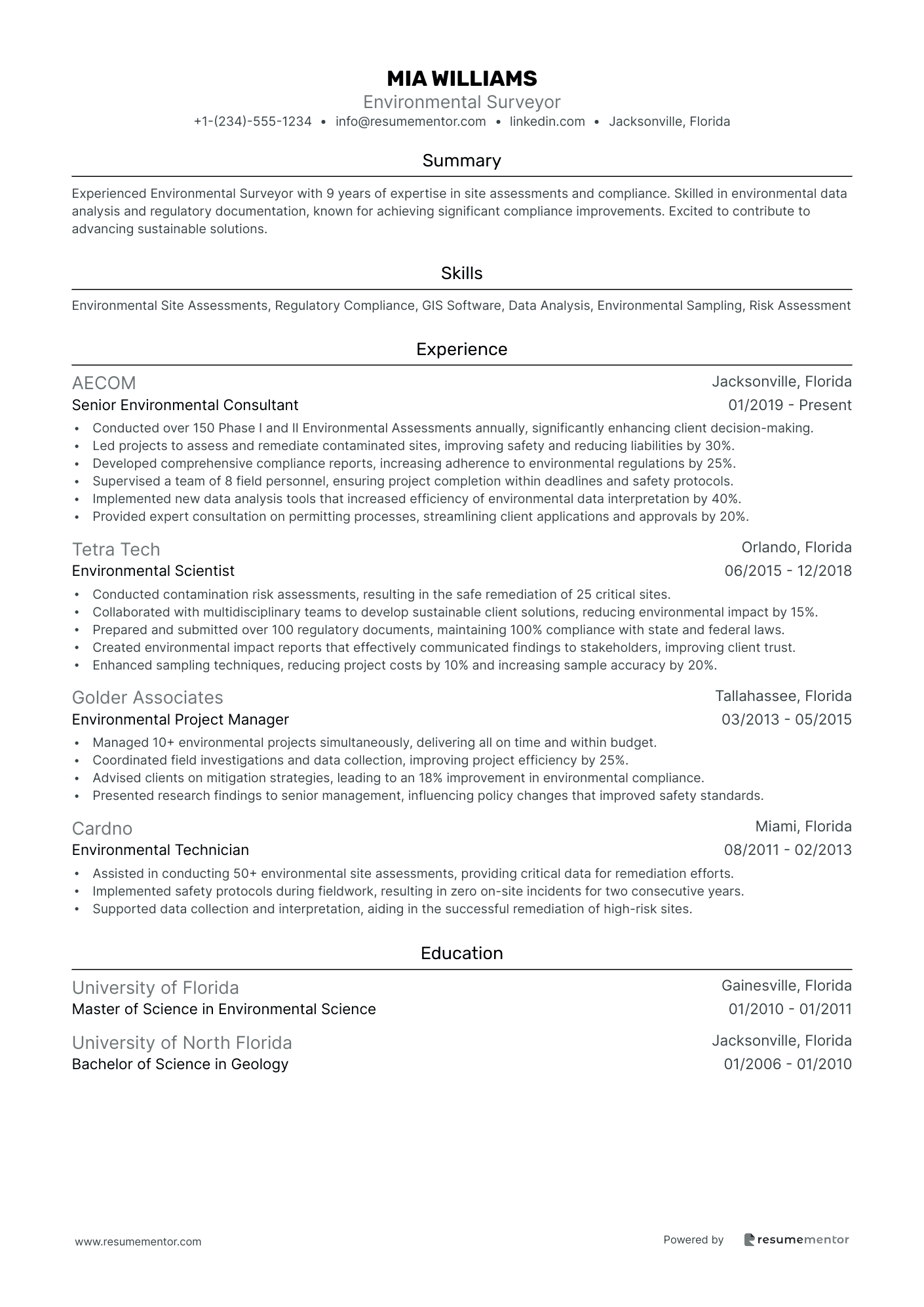
Environmental Surveyor resume sample
- •Conducted over 150 Phase I and II Environmental Assessments annually, significantly enhancing client decision-making.
- •Led projects to assess and remediate contaminated sites, improving safety and reducing liabilities by 30%.
- •Developed comprehensive compliance reports, increasing adherence to environmental regulations by 25%.
- •Supervised a team of 8 field personnel, ensuring project completion within deadlines and safety protocols.
- •Implemented new data analysis tools that increased efficiency of environmental data interpretation by 40%.
- •Provided expert consultation on permitting processes, streamlining client applications and approvals by 20%.
- •Conducted contamination risk assessments, resulting in the safe remediation of 25 critical sites.
- •Collaborated with multidisciplinary teams to develop sustainable client solutions, reducing environmental impact by 15%.
- •Prepared and submitted over 100 regulatory documents, maintaining 100% compliance with state and federal laws.
- •Created environmental impact reports that effectively communicated findings to stakeholders, improving client trust.
- •Enhanced sampling techniques, reducing project costs by 10% and increasing sample accuracy by 20%.
- •Managed 10+ environmental projects simultaneously, delivering all on time and within budget.
- •Coordinated field investigations and data collection, improving project efficiency by 25%.
- •Advised clients on mitigation strategies, leading to an 18% improvement in environmental compliance.
- •Presented research findings to senior management, influencing policy changes that improved safety standards.
- •Assisted in conducting 50+ environmental site assessments, providing critical data for remediation efforts.
- •Implemented safety protocols during fieldwork, resulting in zero on-site incidents for two consecutive years.
- •Supported data collection and interpretation, aiding in the successful remediation of high-risk sites.
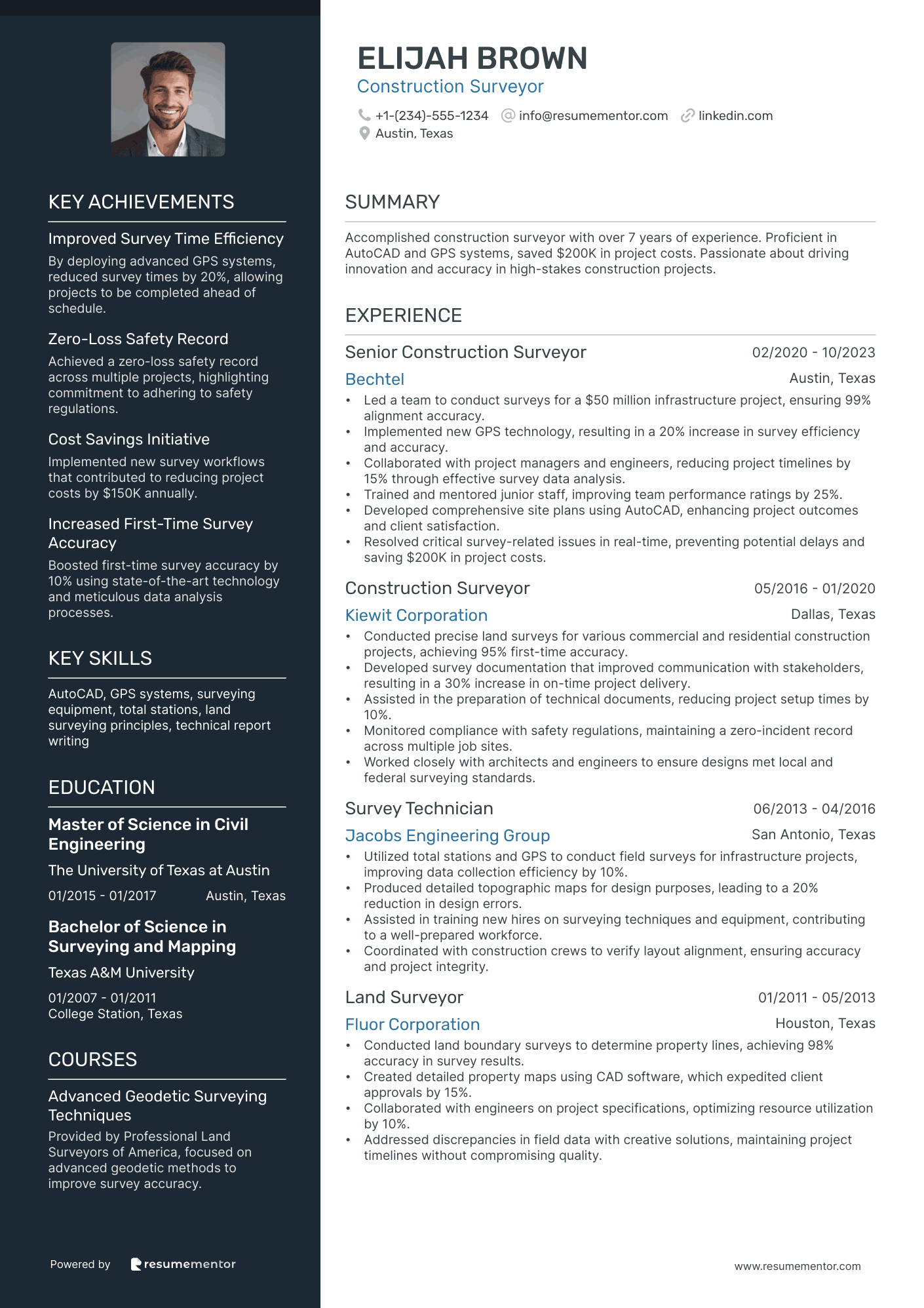
Construction Surveyor resume sample
- •Led a team to conduct surveys for a $50 million infrastructure project, ensuring 99% alignment accuracy.
- •Implemented new GPS technology, resulting in a 20% increase in survey efficiency and accuracy.
- •Collaborated with project managers and engineers, reducing project timelines by 15% through effective survey data analysis.
- •Trained and mentored junior staff, improving team performance ratings by 25%.
- •Developed comprehensive site plans using AutoCAD, enhancing project outcomes and client satisfaction.
- •Resolved critical survey-related issues in real-time, preventing potential delays and saving $200K in project costs.
- •Conducted precise land surveys for various commercial and residential construction projects, achieving 95% first-time accuracy.
- •Developed survey documentation that improved communication with stakeholders, resulting in a 30% increase in on-time project delivery.
- •Assisted in the preparation of technical documents, reducing project setup times by 10%.
- •Monitored compliance with safety regulations, maintaining a zero-incident record across multiple job sites.
- •Worked closely with architects and engineers to ensure designs met local and federal surveying standards.
- •Utilized total stations and GPS to conduct field surveys for infrastructure projects, improving data collection efficiency by 10%.
- •Produced detailed topographic maps for design purposes, leading to a 20% reduction in design errors.
- •Assisted in training new hires on surveying techniques and equipment, contributing to a well-prepared workforce.
- •Coordinated with construction crews to verify layout alignment, ensuring accuracy and project integrity.
- •Conducted land boundary surveys to determine property lines, achieving 98% accuracy in survey results.
- •Created detailed property maps using CAD software, which expedited client approvals by 15%.
- •Collaborated with engineers on project specifications, optimizing resource utilization by 10%.
- •Addressed discrepancies in field data with creative solutions, maintaining project timelines without compromising quality.
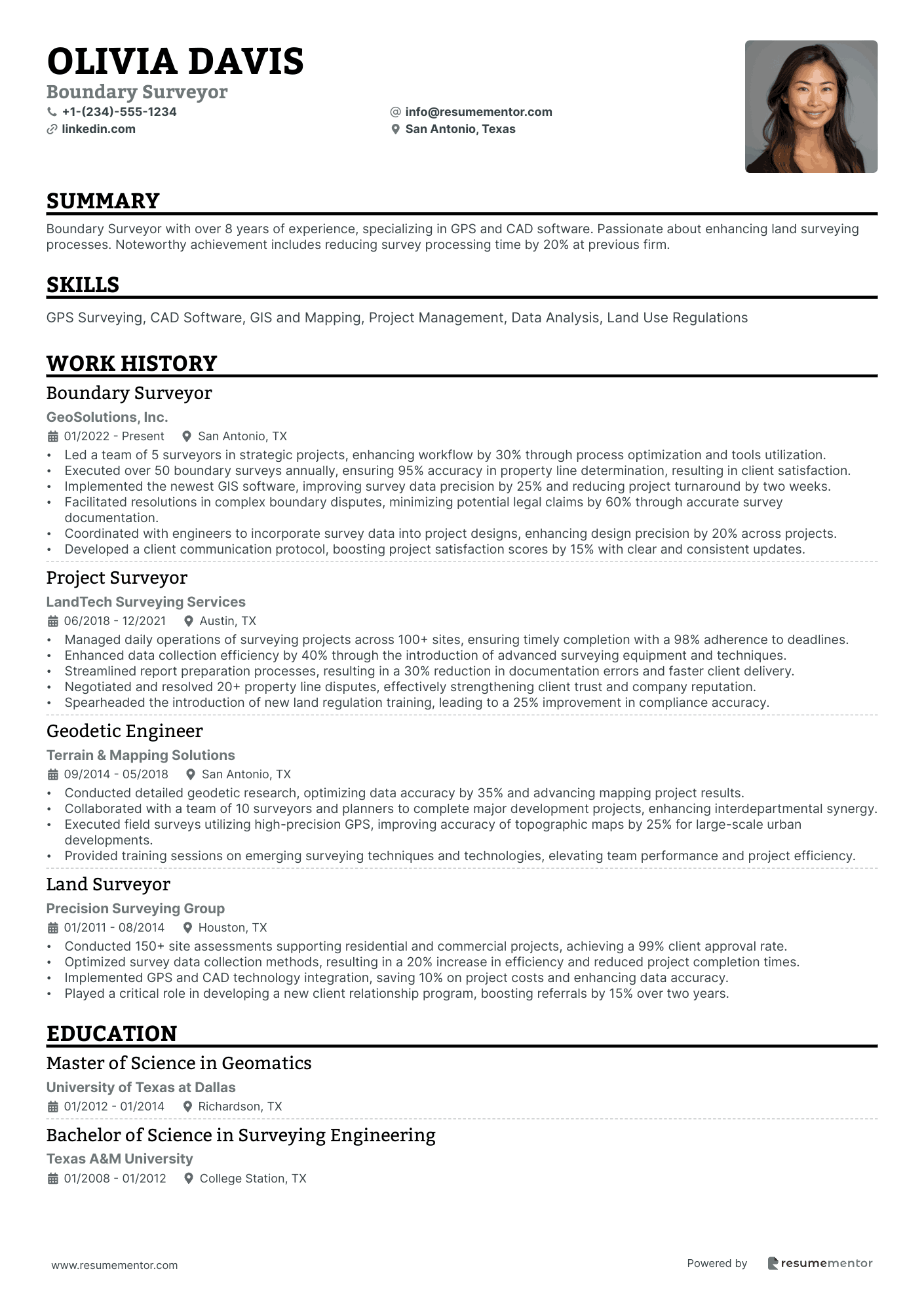
Boundary Surveyor resume sample
- •Led a team of 5 surveyors in strategic projects, enhancing workflow by 30% through process optimization and tools utilization.
- •Executed over 50 boundary surveys annually, ensuring 95% accuracy in property line determination, resulting in client satisfaction.
- •Implemented the newest GIS software, improving survey data precision by 25% and reducing project turnaround by two weeks.
- •Facilitated resolutions in complex boundary disputes, minimizing potential legal claims by 60% through accurate survey documentation.
- •Coordinated with engineers to incorporate survey data into project designs, enhancing design precision by 20% across projects.
- •Developed a client communication protocol, boosting project satisfaction scores by 15% with clear and consistent updates.
- •Managed daily operations of surveying projects across 100+ sites, ensuring timely completion with a 98% adherence to deadlines.
- •Enhanced data collection efficiency by 40% through the introduction of advanced surveying equipment and techniques.
- •Streamlined report preparation processes, resulting in a 30% reduction in documentation errors and faster client delivery.
- •Negotiated and resolved 20+ property line disputes, effectively strengthening client trust and company reputation.
- •Spearheaded the introduction of new land regulation training, leading to a 25% improvement in compliance accuracy.
- •Conducted detailed geodetic research, optimizing data accuracy by 35% and advancing mapping project results.
- •Collaborated with a team of 10 surveyors and planners to complete major development projects, enhancing interdepartmental synergy.
- •Executed field surveys utilizing high-precision GPS, improving accuracy of topographic maps by 25% for large-scale urban developments.
- •Provided training sessions on emerging surveying techniques and technologies, elevating team performance and project efficiency.
- •Conducted 150+ site assessments supporting residential and commercial projects, achieving a 99% client approval rate.
- •Optimized survey data collection methods, resulting in a 20% increase in efficiency and reduced project completion times.
- •Implemented GPS and CAD technology integration, saving 10% on project costs and enhancing data accuracy.
- •Played a critical role in developing a new client relationship program, boosting referrals by 15% over two years.
As a surveyor, your resume serves as a blueprint for potential employers, mapping out the skills and experiences that set you apart. Writing a resume that effectively communicates your technical expertise and field experiences can be challenging, but it's crucial for making an impression.
Your work requires precision, analytical skills, and a deep understanding of spatial data, all of which need to be captured on paper. Successfully doing this will set you apart in a competitive job market. When you highlight your instrument proficiency and project successes, your resume becomes a clear picture of your capabilities.
A structured resume template can be a game-changer in achieving this clarity. It helps organize your professional life into a format that's easy for hiring managers to understand. They review countless applications every day, so clarity is essential. By using these resume templates, you can align your achievements with what potential employers are looking for.
Embrace this process as an opportunity rather than a challenge. With the right tools and focus, you can craft a compelling resume that opens doors to new career opportunities. Every detail you include is a step toward your next role. Let's explore the techniques that will establish you as a leader in your field.
Key Takeaways
- Writing a surveyor resume involves effectively communicating technical expertise and field experiences while maintaining clarity to stand out in a competitive job market.
- The resume should highlight proficiency with surveying equipment, attention to detail, land assessment experience, and problem-solving skills, underlining familiarity with relevant laws and regulations.
- Using structured resume templates can greatly aid in organizing professional experiences into an understandable format that aligns with what potential employers are searching for.
- Incorporating industry-specific experiences, quantifiable achievements, and action-oriented language in the experience section enhances the resume's relevance and impact.
- Additional sections like language skills, hobbies and interests, volunteer work, and relevant books can showcase personal attributes and continuous learning, further distinguishing the candidate.
What to focus on when writing your surveyor resume
A surveyor resume should effectively communicate your surveying expertise and precision in measurements, showcasing your proficiency with surveying equipment. Recruiters need to see your attention to detail, your experience with land assessment and mapping, and your adaptability to different terrains. Familiarity with relevant laws and regulations is crucial, and highlighting your problem-solving skills alongside experience with geographic information systems (GIS) can further strengthen your application.
How to structure your surveyor resume
- Contact Information: Ensure your resume starts with your full name, phone number, professional email, and LinkedIn profile for easy connectivity—presenting clear contact details builds the foundation for effective communication with the recruiter.
- Professional Summary: This section should offer a snapshot of your surveying experience, highlighting specialties and career aspirations. Including key skills such as GIS proficiency and topographic mapping captures interest quickly—your professional summary creates an engaging introduction to your resume.
- Work Experience: Here, detail your past surveyor roles, emphasizing specific duties like conducting boundary surveys or utilizing CAD software. Quantify your achievements by mentioning the number of projects handled or land areas surveyed to demonstrate your impact—this section effectively illustrates your hands-on experience and contributions.
- Education: Provide details of your educational background, focusing on degrees in surveying, engineering, or related fields. Mention the institution's name and graduation dates to establish your academic foundation—highlight how your formal education supports your professional journey.
- Skills: List surveying-specific skills that showcase your proficiency with land survey equipment, data collection methods, and knowledge of surveying principles. Demonstrate how your technical expertise aligns with the requirements of this field—these skills highlight your readiness to meet the demands of surveying projects.
- Certifications: Include any professional licenses or certifications like a PLS (Professional Land Surveyor) license to underscore your professional qualifications and dedication to continuous learning—certifications reflect your commitment to maintaining industry standards and expertise.
For additional impact, consider sections like "Projects," where you can discuss specific surveying work, or "Professional Affiliations," where you outline memberships in surveying organizations, further enhancing your professional image. Now, let's delve deeper into each resume section to understand how best to format and detail them.
Which resume format to choose
Crafting your resume as a surveyor starts with choosing the right format to effectively showcase your skills and experience. A reverse-chronological format works best here because it emphasizes your career path and achievements, allowing employers to quickly understand your professional journey and relevance to their needs. It highlights your most recent roles first, which is crucial in demonstrating your current capabilities and contributions in the surveying field.
The next important aspect is how your resume looks, which means selecting the right font. Using modern fonts like Rubik, Montserrat, or Lato not only gives your resume a fresh, professional look, but also ensures that it remains easy to read. This is especially important in technical fields like surveying, where clarity can reflect your attention to detail and professionalism.
File format is another critical piece of the puzzle. Always send your resume as a PDF. This choice keeps your meticulous formatting intact, preventing any software-based distortions. This means that whenever your potential employer opens your resume, they see it exactly as you intended, maintaining the polished impression you’re aiming for.
Your layout should also incorporate one-inch margins on all sides. This margin size strikes the right balance between fitting all necessary information and ensuring your resume doesn't feel cramped. In the surveying profession, precision and clarity are key, and your resume should reflect those principles by being well-organized and easy to navigate.
At its core, writing a surveyor resume involves more than just listing your work history; it’s about how you present that information so it best represents your skills and professionalism. By carefully considering each element of your resume—from format and font to file type and layout—you help ensure that it stands out effectively in any job search.
How to write a quantifiable resume experience section
Your surveyor resume's experience section is crucial for highlighting your skills and accomplishments. Start by emphasizing specific, quantifiable achievements to capture attention. Use strong action words to show your active role and tailor your resume to fit the job ad by including relevant details. Organize this section with the most recent roles first, covering the past 10-15 years, and ensure your job titles align with the position you’re applying for. Tailoring each resume to each job ensures you highlight the keywords and skills that employers are looking for. Using action words like "managed," "improved," "optimized," and "conducted" gets your impact across effectively.
08/2015 - 07/2023 - •Managed a team of 5 surveyors to successfully complete over 50 large-scale projects, boosting team efficiency by 30%.
- •Improved survey reporting processes, cutting client delivery times by 20% and maintaining 95% accuracy.
- •Conducted boundary surveys on land parcels exceeding 200 acres, securing a 100% approval rate from authorities.
- •Implemented new surveying technologies that increased data collection speed by 40%.
The way this experience section is written makes it easy to see how your achievements translate into value for a potential employer. By using action-oriented language such as "managed," "improved," and "conducted," you clearly show leadership and technical expertise. Each entry connects seamlessly to showcase your ability to advance both accuracy and efficiency, which are key components in surveying roles. These connections between achievements highlight a consistent track record of innovation and precision, aligning well with what employers look for. This makes the section engaging and immediately relevant to the needs of hiring managers.
Industry-Specific Focus resume experience section
A surveyor-focused resume experience section should clearly present your skills and accomplishments in the industry. Begin by listing your position title, workplace, and dates to establish a clear timeline of your professional journey. Then, use bullet points to succinctly describe your achievements and responsibilities, focusing on the technical skills and contributions that highlight your impact. It's important to emphasize areas like project management experience or leadership roles to show your influence within a team.
As you detail your experience, focus on the outcomes and results of your efforts, such as enhanced measurement accuracy or better efficiency. Using strong action verbs can vividly demonstrate your contributions, helping potential employers understand your capabilities and the value you can bring. By aligning your past experiences with the skills required in the job description, you can effectively showcase why you are a great fit for the new role.
Surveyor
XYZ Surveying Inc.
June 2020 - Present
- Conducted topographic and boundary surveys, ensuring accuracy within 0.01 foot.
- Managed a team of 5 assistants to complete a large municipal project ahead of schedule.
- Implemented new GPS technology to streamline data collection processes.
- Prepared detailed reports and maps for clients leading to a 20% increase in client satisfaction.
Achievement-Focused resume experience section
An achievement-focused surveyor resume experience section should effectively showcase the impact you have made in your previous roles. Begin by identifying key accomplishments that highlight your contributions, such as improving processes or ensuring data accuracy. Use strong action verbs and concrete figures to emphasize these achievements, demonstrating the tangible results of your efforts. This approach helps frame you as a professional who not only understands the technical aspects of surveying but also adds significant value to every project.
To ensure clarity, keep your descriptions straightforward so they are accessible even to those who may not have a background in surveying. By emphasizing a range of skills like project management and teamwork, you can paint a broader picture of your abilities, showcasing your adaptability in various situations. Ultimately, your experience section should tell a cohesive story of you as a proactive, results-driven individual who consistently delivers on objectives.
Surveyor
XYZ Surveying Co.
June 2020 - August 2023
- Led a team of 5 surveyors on a project that mapped 50 square miles, completing it 20% faster than the timeline required.
- Improved efficiency by creating a new process for data collection that reduced field time by 15%.
- Validated elevation data with 99% accuracy, enhancing project reliability and client trust.
- Trained 3 junior surveyors, focusing on safety standards and reducing on-site incidents by 30%.
Project-Focused resume experience section
A project-focused surveyor resume experience section should begin by highlighting your specific role or area of expertise. Clearly outline key achievements and the skills applied, emphasizing the impact of each project. Use straightforward, accessible language to ensure clarity and avoid overly technical jargon. It’s important to demonstrate how your work brought tangible benefits to the business, the community, or improved overall processes.
To effectively showcase your accomplishments, each bullet point should provide a specific, fact-based insight into your contributions, focusing on measurable outcomes and skills demonstrated. Whether it’s showcasing technical proficiency, leadership abilities, or problem-solving skills, ensure each point flows logically into the next, painting a complete picture of your expertise as a surveyor. Continuity in format and detail will help seamlessly connect each bullet to create a cohesive narrative.
Lead Surveyor
City Surveying Solutions
June 2020 - Present
- Led a team of surveyors in mapping a new city highway, coordinating closely with engineers and contractors.
- Reduced surveying time by 20% by implementing advanced GPS equipment, enhancing efficiency across the board.
- Created a new process for data validation, which not only improved accuracy but also reduced errors by 15%.
- Worked with local government to secure necessary permits, ensuring all regulatory requirements were met seamlessly.
Innovation-Focused resume experience section
An innovation-focused surveyor resume experience section should emphasize how you have injected fresh thinking into your work. Begin by pinpointing significant projects where you brought creative solutions to surveying challenges. Describe the obstacles you encountered and how your new methods made your work stand out, enhancing efficiency, accuracy, or cost-effectiveness. When sharing these efforts, be specific about the tools or technologies you used, underscoring the tangible outcomes to highlight your problem-solving abilities.
Using clear and active language, detail your experiences and quantify achievements wherever possible. Show how your role transformed survey processes with innovative practices and provide context and outcomes to reflect the full picture of your contributions. Consider how your innovative input benefited the organization as a whole. For instance, think about how you might have introduced technologies that shortened data collection time or revitalized teamwork in the field. Make each bullet point vivid, clearly illustrating your role in driving innovation.
Senior Surveyor
GeoTech Innovations
March 2018 - Present
- Developed new data collection methods using UAV technologies, reducing survey time by 30%.
- Implemented real-time data analysis tools that improved project timelines and decision-making.
- Made significant contributions to cross-departmental collaborative projects using advanced software.
- Pioneered environmentally-friendly surveying practices, lowering project costs by 15%.
Write your surveyor resume summary section
A surveyor-focused resume experience section should succinctly convey your key skills and accomplishments. It acts as a quick snapshot of your career, highlighting strengths and achievements that make you stand out. Start with identifying your major skills and notable successes in surveying. An effective example might be:
This summary flows smoothly by connecting your experience directly to your capabilities and strengths. Stating your years of experience upfront signals your expertise, while mentioning your proficiency with modern equipment shows adaptability. Highlighting compliance and client relationships demonstrates your reliability and dedication to service.
Understanding the difference between a resume summary and other sections like an objective or profile can enhance your job application. While a summary emphasizes your experience and accomplishments, a resume objective is often more suitable for those entering the field as it outlines career goals. A profile combines elements of both, providing a broader overview, and a summary of qualifications lists key skills succinctly. By choosing the right approach, you can present your strengths clearly and effectively. Keeping the reader’s perspective in mind will ensure your resume is both relevant and compelling, making it more likely to stand out.
Listing your surveyor skills on your resume
A skills-focused surveyor resume should highlight the abilities that make you a strong candidate in the field. The skills section can stand alone or be seamlessly integrated into other sections like your experience and summary. By emphasizing your strengths and soft skills, you help employers understand how you interact with others and adapt to different situations. Meanwhile, your hard skills reflect the technical abilities and specific knowledge crucial for surveying tasks.
Incorporating skills and strengths as keywords throughout your resume can be particularly effective in capturing the attention of hiring managers and Applicant Tracking Systems (ATS), which often search for relevant terms.
Here's an example of an effective skills section tailored for a surveyor resume:
This section is compelling because it targets skills critical to surveying, thereby communicating to employers that you possess the necessary expertise.
Best hard skills to feature on your surveyor resume
Hard skills are crucial for a surveyor as they reflect essential technical proficiencies and knowledge. These skills demonstrate your ability to efficiently handle tasks, use tools, and adhere to procedures.
Hard Skills
- Boundary Surveying
- Land Development
- Construction Layout
- AutoCAD Civil 3D
- GIS Technologies
- Topographic Surveying
- GPS Systems
- Remote Sensing
- Terrain Analysis
- Cartography
- Legal Descriptions
- Hydrographic Surveying
- Drafting and Design
- Utility Mapping
- Photogrammetry
Best soft skills to feature on your surveyor resume
Equally important are the soft skills that highlight your interpersonal and communication abilities, showing your competence in working well with others and adapting to various environments.
Soft Skills
- Attention to Detail
- Problem Solving
- Communication
- Teamwork
- Adaptability
- Time Management
- Critical Thinking
- Leadership
- Customer Service
- Negotiation
- Conflict Resolution
- Decision Making
- Empathy
- Organizational Skills
- Active Listening
How to include your education on your resume
The education section is an essential part of your surveyor resume. Tailor it to the job you're applying for, focusing on relevant education. If some of your educational experiences don't relate, leave them out to keep this section focused and concise. When listing your GPA, include it only if it's impressive, like a 3.5 or higher. If you're graduating with honors like cum laude, mention it to grab attention. Clearly state your degree to show you have the necessary qualifications. Here's a look at how you can organize this section effectively, highlighting the essentials.
Here is a poor example:
08/2015 - 05/2020 Here is a good example:
09/2017 - 06/2021 - •Graduated Cum Laude.
The second example is strong because it is explicitly tailored for the role of a surveyor. Mentioning the degree in Surveying and Geomatics shows direct relevance and interest in the field. Including a high GPA along with graduating Cum Laude highlights academic excellence, making a great impression on potential employers. The removal of unnecessary details, like location, keeps it clean and focused. The dates suggest a recent education, meaning knowledge is up-to-date, which is crucial in technical fields like surveying. This concise format helps potential employers quickly grasp your relevant qualifications.
How to include surveyor certificates on your resume
Including a certificates section in your resume is essential, especially for a surveyor. Certificates showcase your expertise and help employers quickly see your qualifications. You can even include key certifications in your resume header to grab attention immediately. For example: "John Doe, Licensed Surveyor, Certified in Geographic Information Systems."
List the name of each certificate clearly. Include the date you received it to show your current qualifications. Add the name of the issuing organization to prove the certificate's validity. Ensure the titles are relevant to the surveyor field to make the best impression.
Here’s a good example of a standalone certificates section:
This example is effective because each certificate is relevant to a surveyor's role. The "Certified Professional Surveyor" credential is well-recognized, showcasing your core surveying skills. The "Certified Geographic Information Systems Specialist" certificate highlights your ability in handling GIS technology, a key tool for modern surveyors. Displaying certificates from reputable organizations builds trust with potential employers by showing that you are dedicated to your profession.
Extra sections to include on your surveyor resume
A well-structured resume can set you apart in your job search, especially in a technical field like surveying. With the right sections, you can showcase more than just your professional experience, highlighting relevant skills and attributes that will make a lasting impression on potential employers.
Language skills section — Illustrate your ability to work in diverse environments by listing any additional languages you speak; this can enhance collaboration with international teams. Emphasize fluency level, as this can be particularly beneficial for global projects.
Hobbies and interests section — Highlight activities that reflect critical thinking or teamwork skills since these are highly valued in surveying work. Including relevant hobbies can show a more well-rounded personality and can align with company culture.
Volunteer work section — Demonstrate your community involvement and passion through volunteer experiences that use similar skills needed in surveying roles. This section can reassure employers of your dedication and work ethic outside of paid positions.
Books section — Share titles of books you've read that relate to surveying, geography, or leadership, as this reflects continuous learning. This shows potential employers that you stay informed about industry trends and theories.
In Conclusion
In conclusion, crafting a resume as a surveyor involves more than just listing jobs and skills; it’s an opportunity to tell the story of your professional journey and capabilities. Your resume should serve as a clear map, highlighting the achievements and skills that make you a standout candidate. By using structured templates and presenting information clearly, you help potential employers see how you can fit into and enhance their team. Focus on the specific skills and experiences that are relevant to the position you’re applying for, ensuring you use action verbs and quantify your achievements to effectively showcase your impact. Additionally, including categories like certificates, education, and even relevant hobbies can give a fuller picture of who you are as a professional. Overall, a well-crafted surveyor resume combines technical skills, personal attributes, and certifications to present you as a dedicated professional ready to take on new challenges. By strategically selecting and organizing the information on your resume, you will stand out in a competitive job market and move closer to securing the role you desire.
Related Articles

Continue Reading
Check more recommended readings to get the job of your dreams.
Resume
Resources
Tools
© 2026. All rights reserved.
Made with love by people who care.